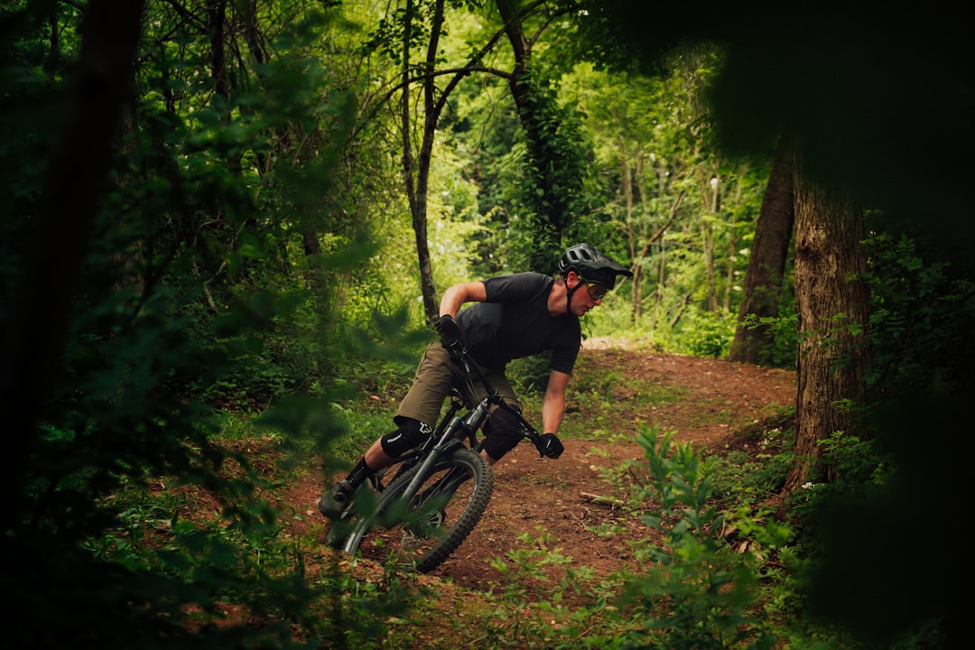
Precision aerial mapping meets sustainable trail planning. We design and help build trails that respect the land, enhance the experience, and stand the test of time
Maximizing the recreational value of your property with private trail networks.
Connecting community assets with accessible multi-use pathways.
Balancing conservation goals with public access and education.
Conceptualizing new lift serviced flow trails and bike parks. Assessing current facilities for best practices,
We partner with other trail building companies to provide specialized GIS, aerial mapping and terrain analysis services.

Comprehensive solutions for trail development and terrain analysis. We consider topography, hydrology, and ecology to create lasting trail infrastructure.
Planning for hiking, biking, and multiuse trail networks that optimize land use and user enjoyment.
High-resolution aerial mapping and drone photogrammetry for precise layout and terrain analysis.
Detailed analysis of existing or proposed routes for sustainability, flow, and long-term viability.
Professional trail mapping for land managers and recreation departments.
Trusted by
Ready to get started? Whether it's a rough idea or a specific plot of land, contact us to discuss the possibilities.