Comprehensive analysis combining GIS technology, aerial mapping, and in-person site visits to optimize your trail network and bike park features.
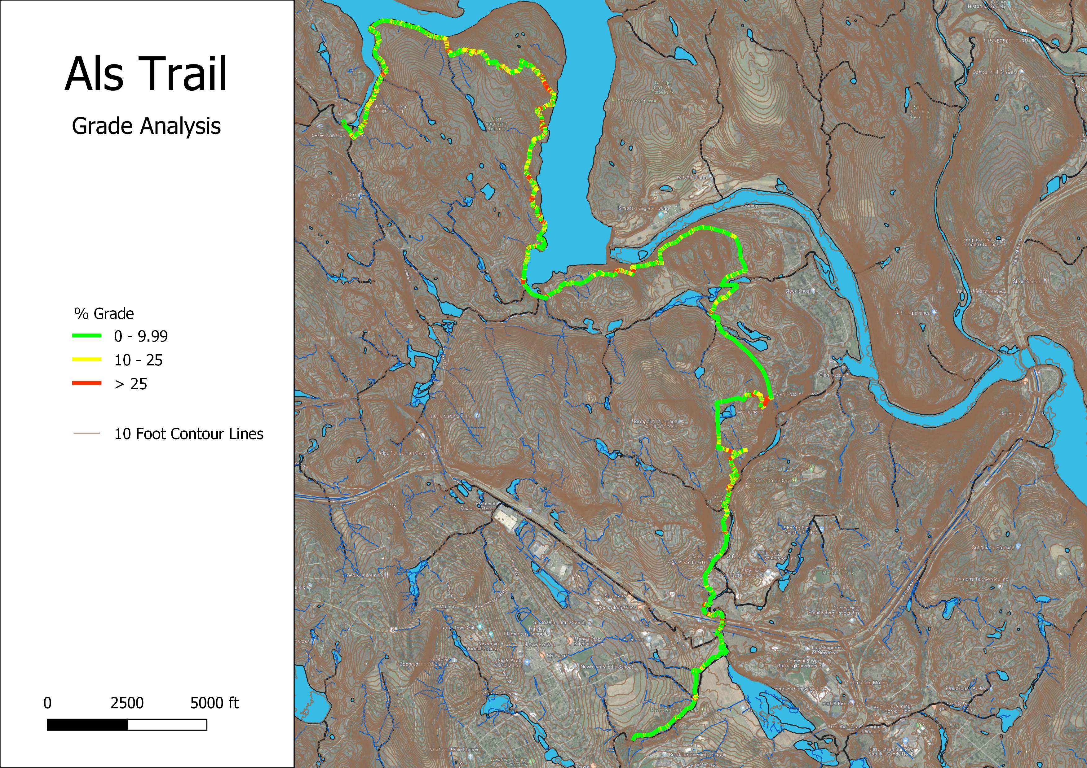
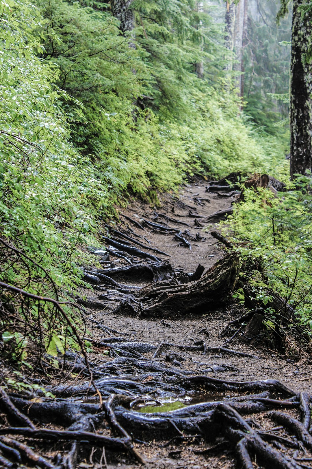
Identify unsustainable trail segments through precision slope gradient mapping. Our GIS analysis pinpoints areas exceeding optimal grades, preventing erosion and reducing long-term maintenance costs.
Comprehensive cataloging of drainage issues, erosion points, vegetation encroachment, and structural concerns. Geo-referenced documentation enables prioritized, budget-conscious maintenance planning.
Discover untapped potential within your property. Terrain analysis reveals optimal corridors for expansion, connectivity improvements, and diverse experience offerings that maximize land use.

Aerial imaging can detect trails hidden under the tree canopy. Document unsanctioned routes to inform management decisions, whether integration into official networks or strategic closure and restoration.
Proactive risk mitigation through systematic identification of sight-line obstructions, unstable features, inappropriate grades, and environmental dangers. Protect users and reduce liability exposure.
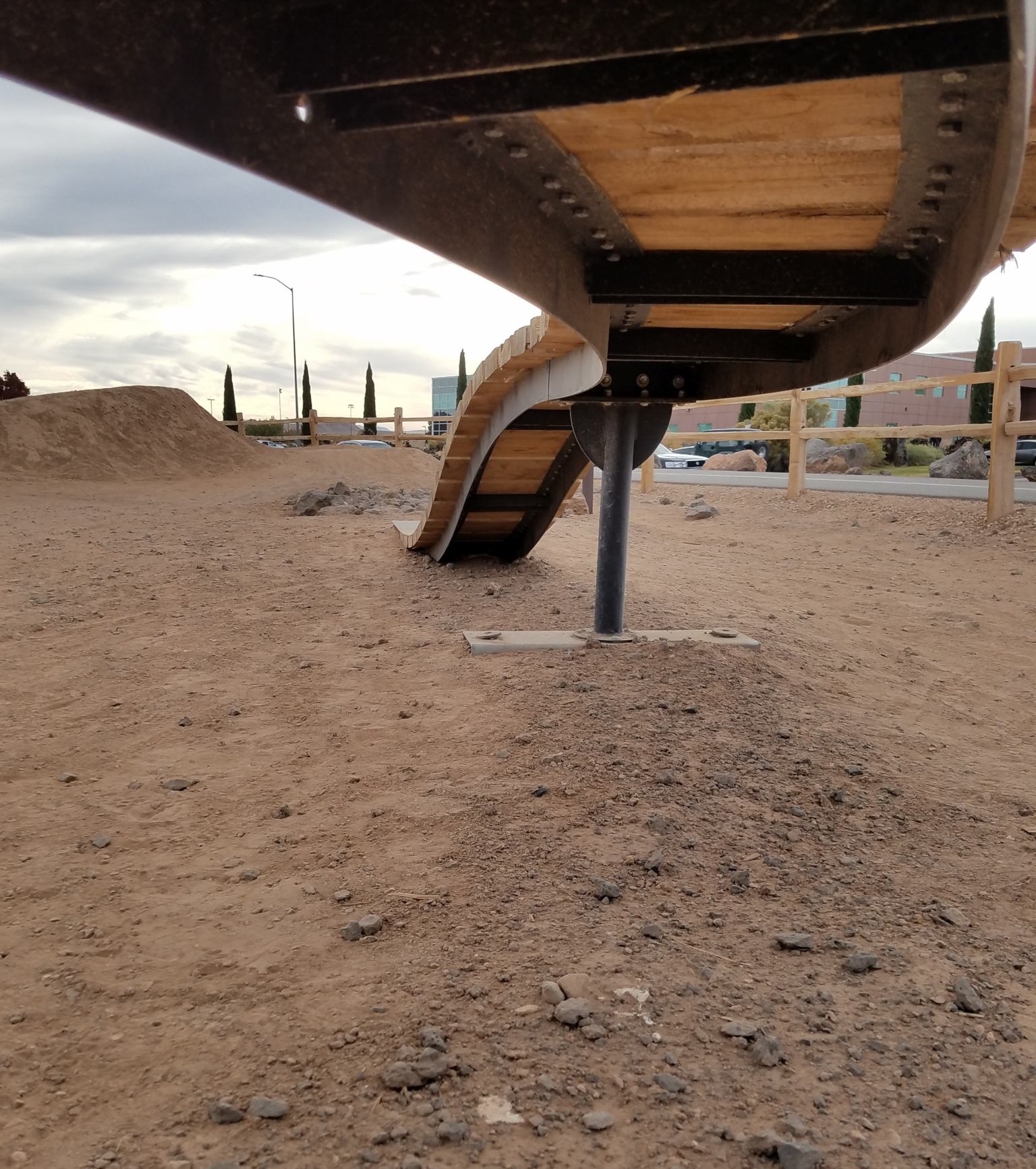
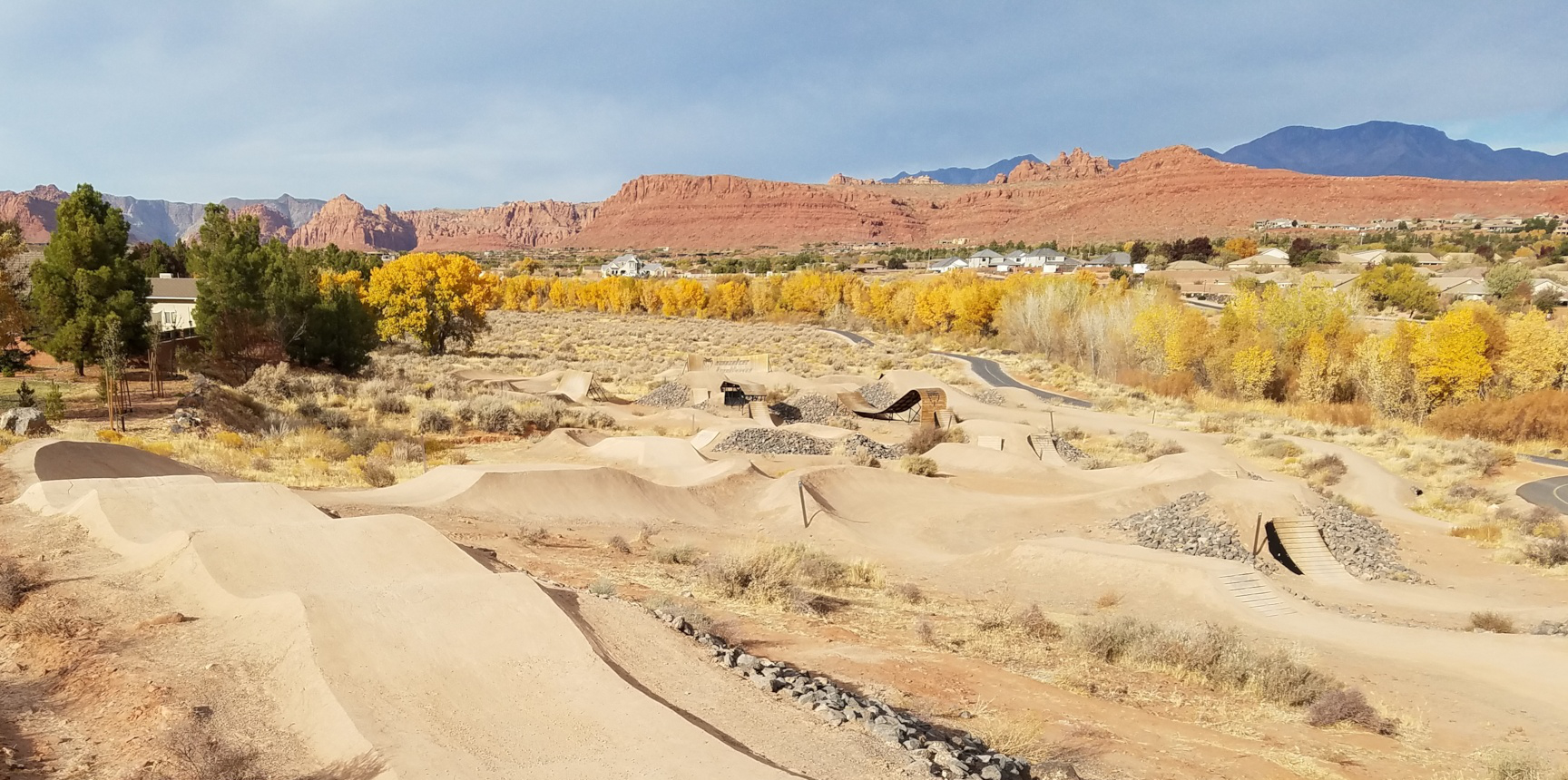
Elevate flow trails and bike parks with precision 3D modeling. Compare existing features against industry benchmarks for radius, transition angles, and landing zones to maximize ridability and safety.
Aerial imagery and GIS data analysis to develop preliminary insights and focus areas before field work.
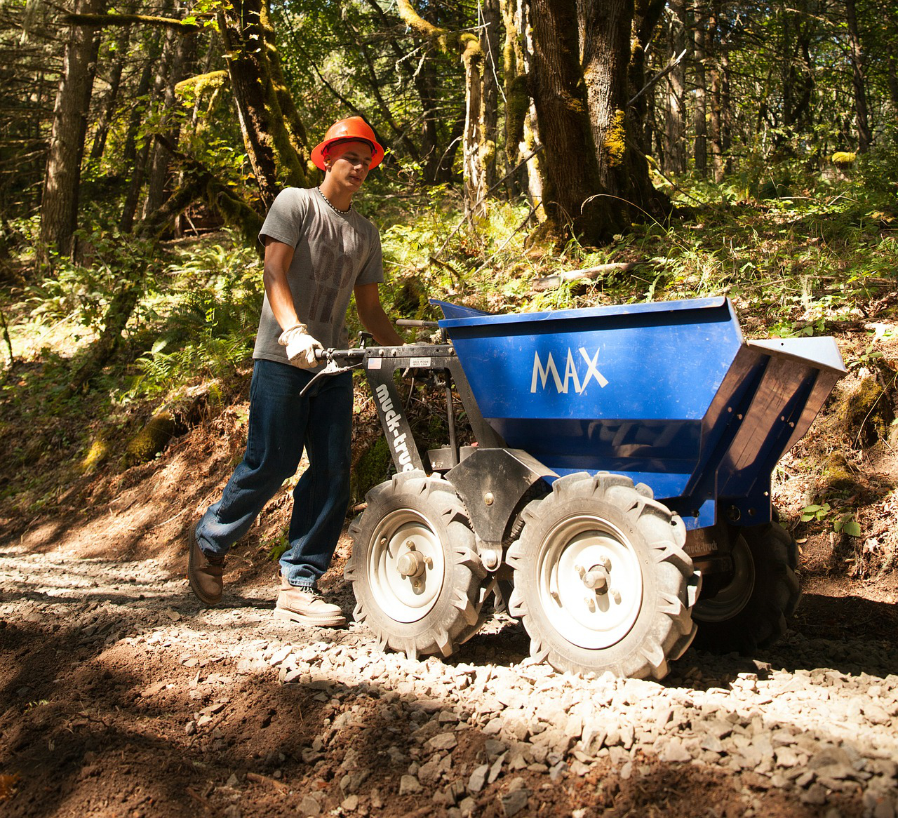
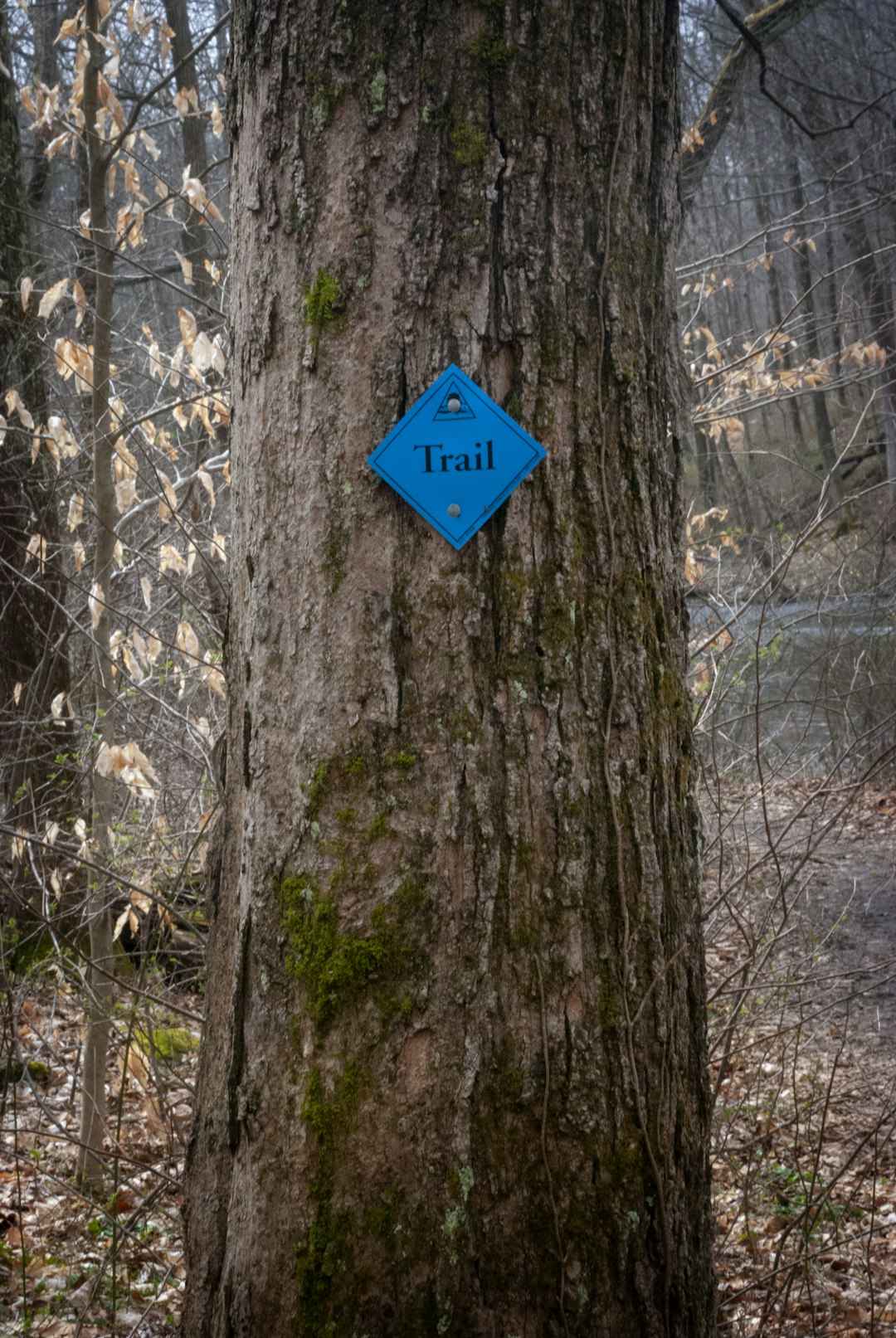
Comprehensive field inspection documenting conditions, opportunities, and challenges with GPS-tagged photography.
Combining of digital and field data into comprehensive mapping and prioritized recommendations.
Detailed report with maps, 3D models, actionable recommendations, and strategic planning session.
Schedule a comprehensive site assessment to unlock the full potential of your property.