At Planet Zero Gravity, we believe the best trails disappear into the landscape while providing an unforgettable user experience. We combine old-school fieldwork with cutting-edge aerial mapping technology to create sustainable, low-maintenance trails.
Whether you are a private land owner dreaming of a private loop, or a town planner looking to connect communities, our approach ensures minimal impact and maximum enjoyment.
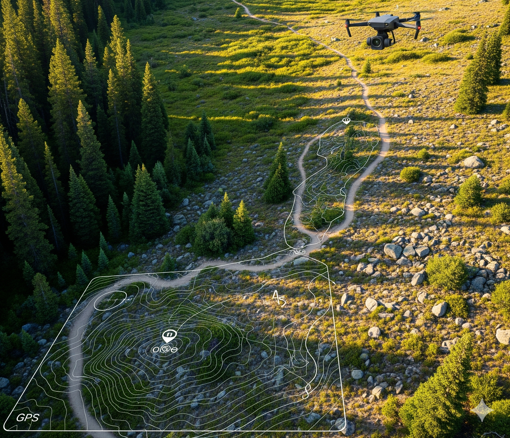
We don't guess. We measure, analyze, and design based on your specific terrain.

We walk the land to understand the control points, features, and constraints.
When needed, aerial mapping creates a precise terrain model for accurate routing and grading.
We deliver conceptual trail plans and can also flag the corridor on the ground for review.
We can help support construction crews during the build phase with specialized GIS and aerial mapping.
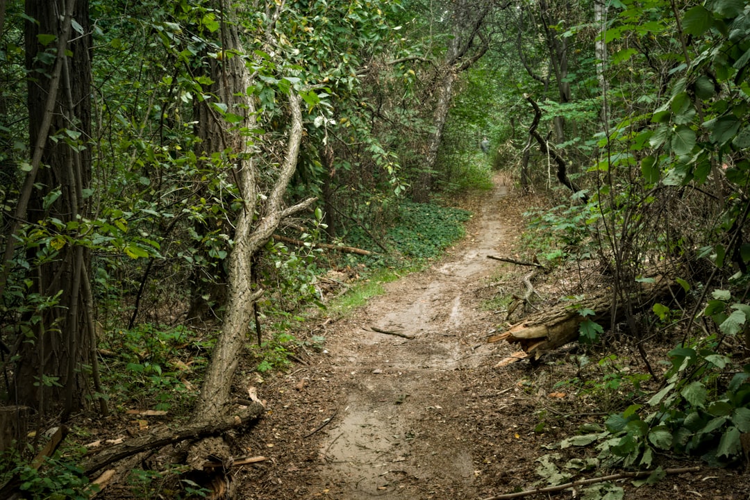
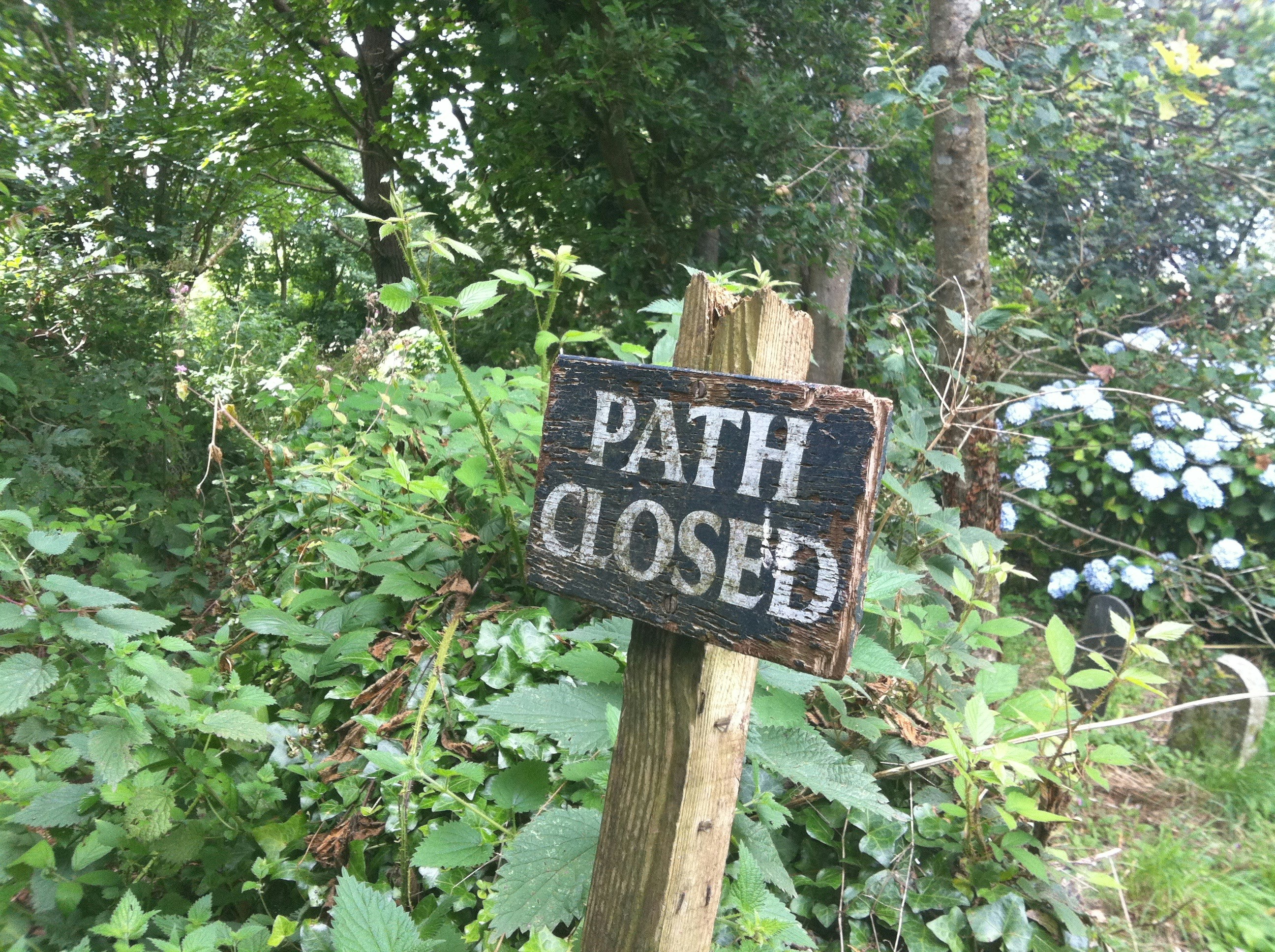
Poorly designed trails lead to severe erosion, higher maintenance costs, and liability issues for land owners.
Whether you are a land trust managing thousands of acres or a town planner looking to connect communities, you need a plan that respects the terrain.